Geospatial Analytics
For Drone Research and Training at NC State, the Sky’s the Limit
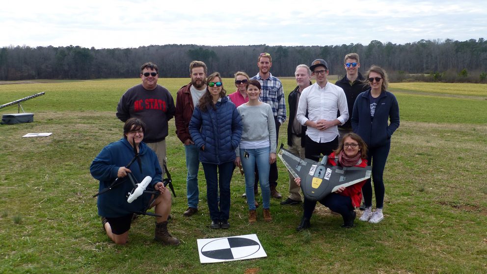
Looking for opportunities to expand your expertise in Unmanned Aerial Systems? Find what your searching for with the Center for Geospatial Analytics’ graduate courses, workshops, and UAS research programs.
New STEM Program to Connect High Schoolers with Geospatial Tech and Careers
Applications are now being accepted for a new, free program for high school students looking to explore geospatial science and cutting-edge technologies, starting March 10.
NSF Grant Funds Smart City Research to Tackle Regional Problems with Serious Games
With NSF funding, a research team led by Center for Geospatial Analytics director Ross Meentemeyer will unite four universities in the Triangle and regional stakeholders to develop a serious game for stormwater management.
Getting in Touch to Stop an Epidemic
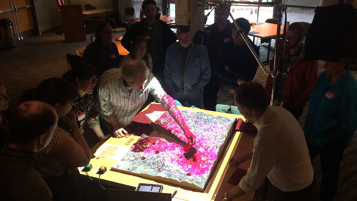
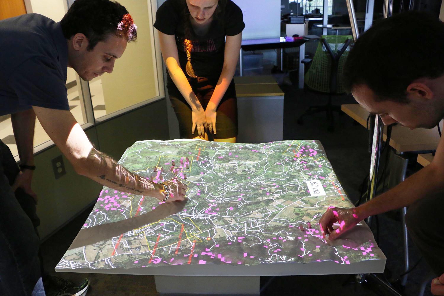
Devon Gaydos, Ph.D. student in the Department of Forestry and Environmental Resources, is using tangible user interfaces designed by the Center for Geospatial Analytics to help Oregon stakeholders fight infectious forest disease.
Where a Great Idea Can Take You
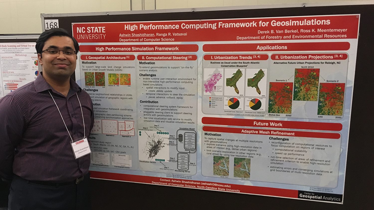
Ph.D. student Ashwin Shashidharan interned with the world’s top GIS software company this summer and continues to gain recognition for his award-winning research in computer science.
A Hands-On Approach to Environmental Decisions
NC State scientists show how geospatial modeling can help provide faster feedback and better collaboration on complex issues.
High-Tech Sandbox
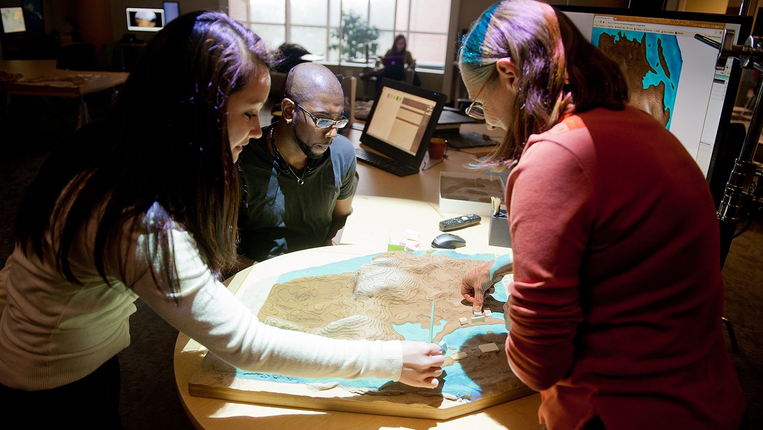
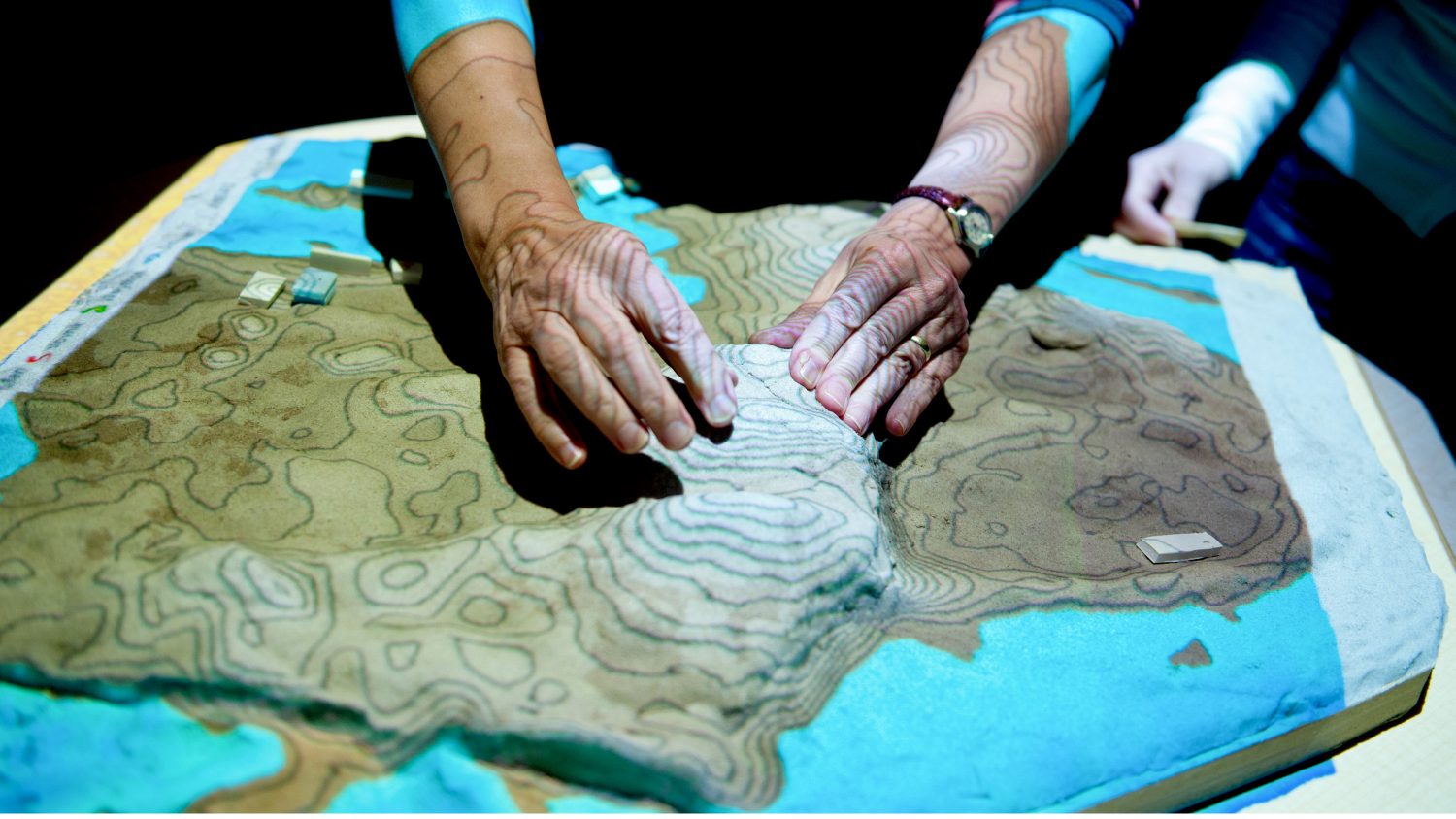
Helena Mitasova's Tangible Landscape geovisualization project helps solve land-management problems ranging from erosion to wildfire management. See her in action in this new video.
