Geospatial Analytics
Center Welcomes Newest Member of Geospatial Analytics Cluster
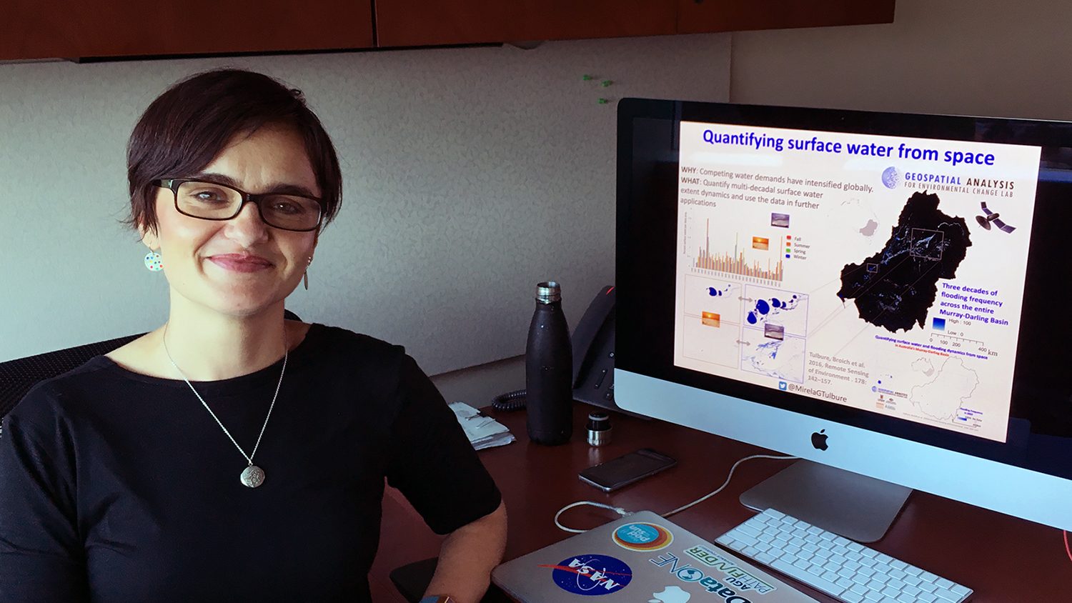
The Center for Geospatial Analytics is proud to welcome remote sensing scientist Mirela Tulbure as the newest member of the Chancellor’s Faculty Excellence Program’s Geospatial Analytics faculty cluster! Mirela joins the center as a new faculty fellow and member of the steering committee.
Partnership with Wake County a New Think (and Do) Tank for Harnessing Spatial Data
Through a new partnership called Geo-IDEAS, NC State’s Center for Geospatial Analytics and Wake County government are innovating the future of spatial analysis and decision-making.
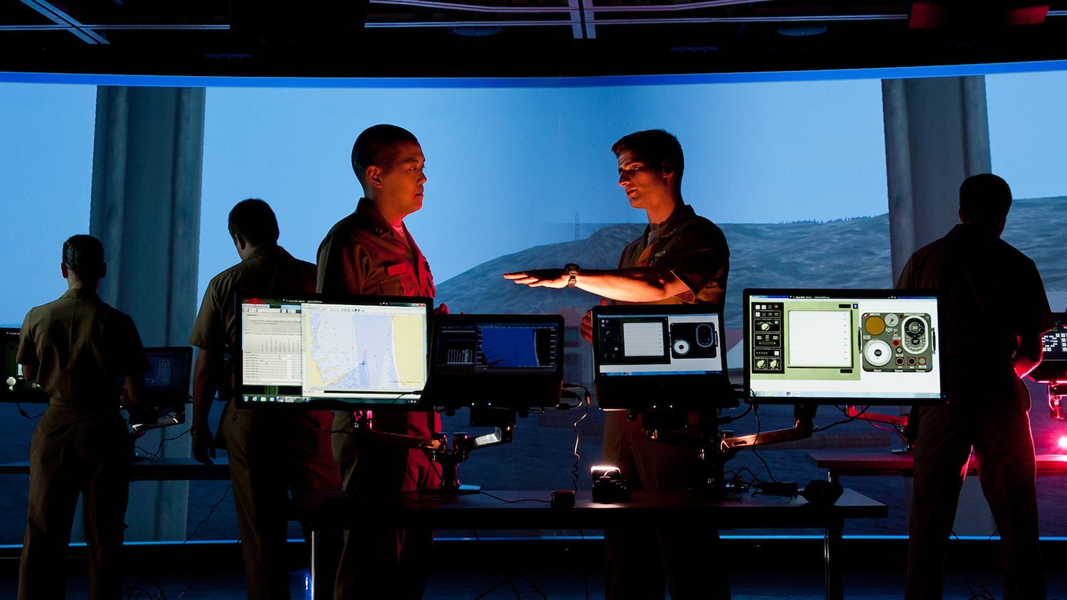
Military Students Choose MGIST for Career Training in Geospatial Intelligence
The Center for Geospatial Analytics’ MGIST ranks second only to NC State’s MBA as the graduate program with the most military enrollment across the university.
Enhancing the Online Learning Experience
Stacy Supak specializes in online learning and teaches half of the credit hours at the Center for Geospatial Analytics. As a DELTA Faculty Fellow, she will investigate how experiences in online courses influence student success.
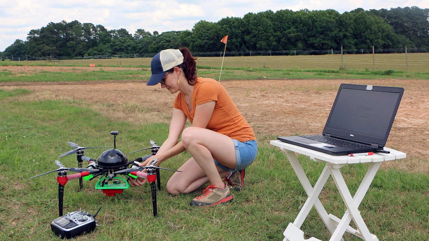
Taking Flight with Drone Research
Winner of a 2018 NASA/NC Space Grant Graduate Research Fellowship, incoming Geospatial Analytics Ph.D. student Kellyn Montgomery is launching an innovative study of crop health this summer.
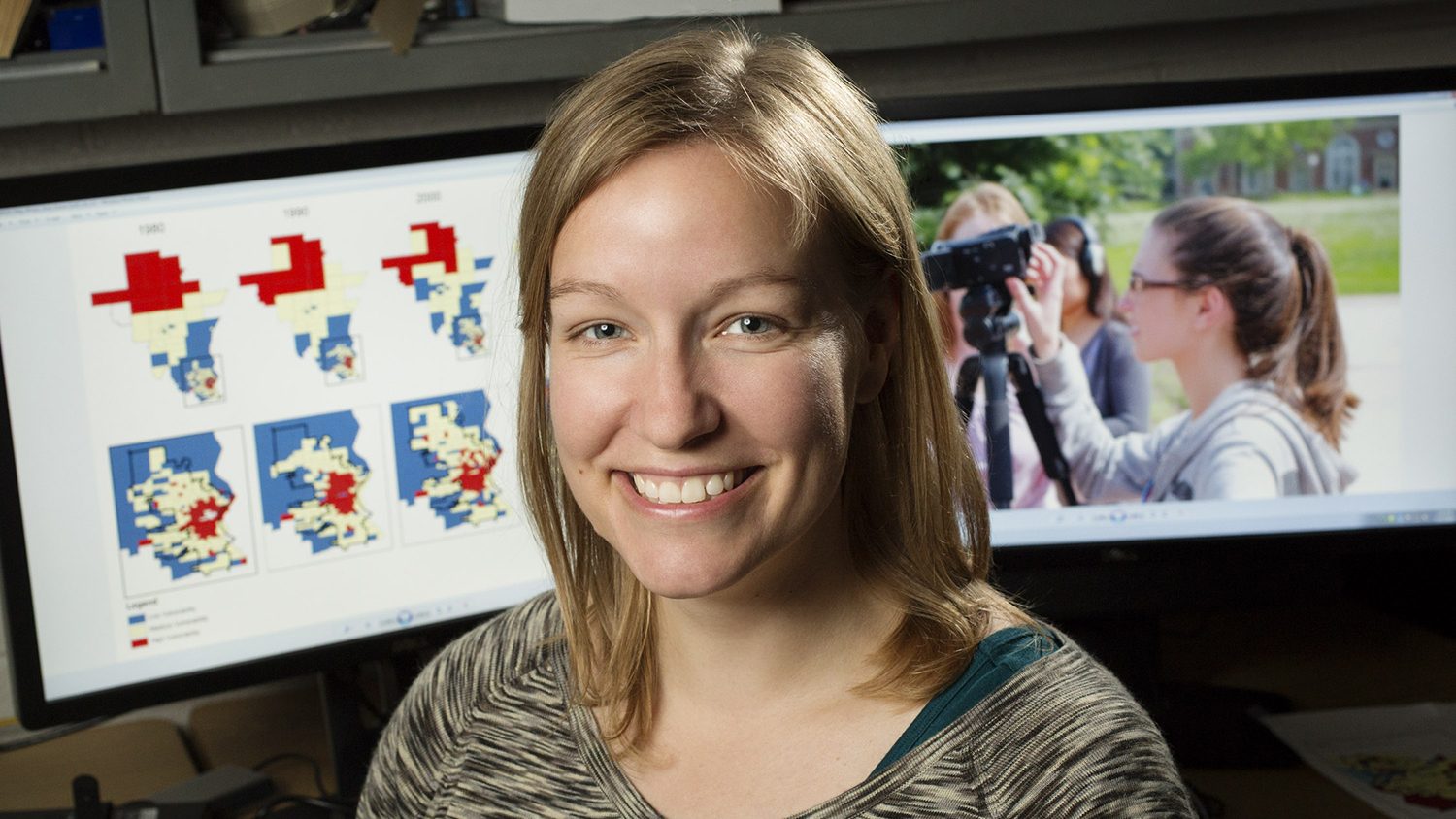
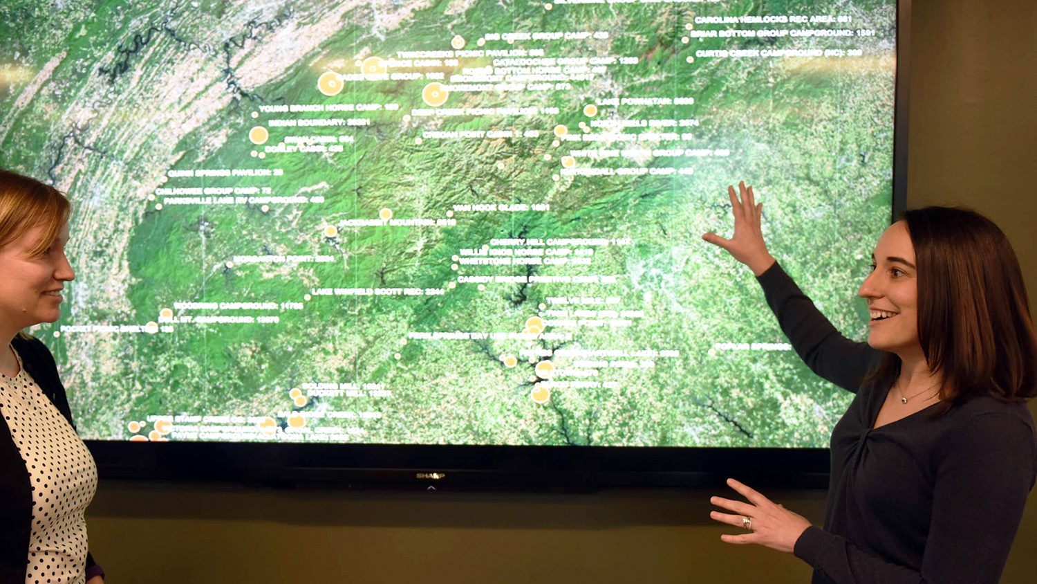
Connecting Power and Place
New research by Faculty Fellow Bethany Cutts combines spatial analysis and interviews to help watershed planners better understand the social vulnerability of communities across time and space.
A Landscape Ecology Legacy
During his two-year term as president of US-IALE, center director Ross Meentemeyer enhanced the association's communication initiatives and pushed to expand the membership to all of North America.
Using Virtual Reality to Plot Urban Green Spaces
Research with VR goggles gives landscape designers fresh insight on how green landscapes refresh city residents.
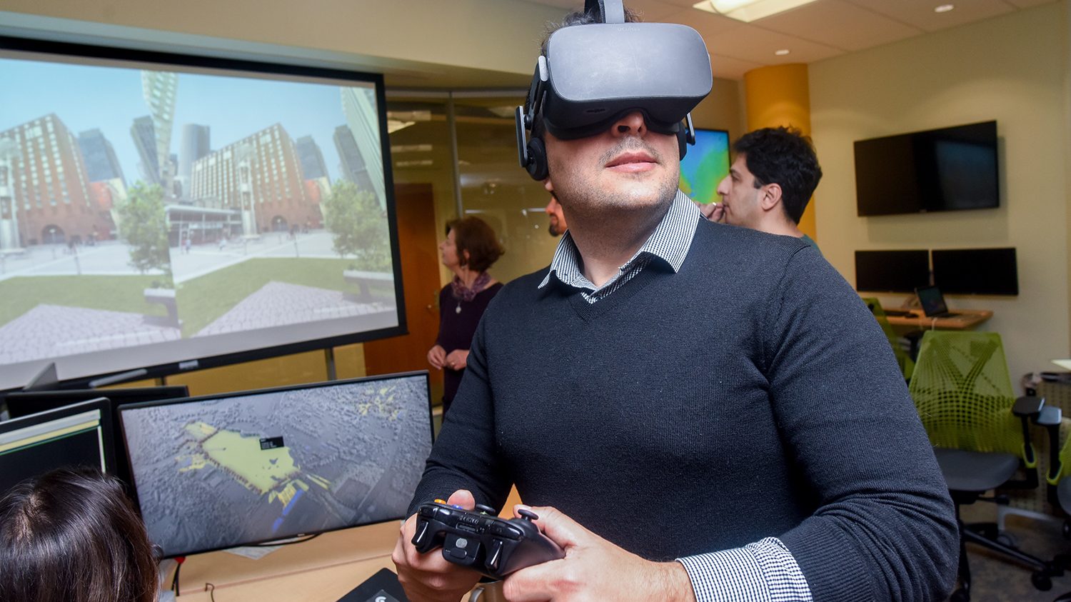
Ready Player Two: Virtual Reality in the Geospatial Sciences
Ph.D. student Payam Tabrizian uses virtual reality and geospatial analytics to learn about human cognition and advance landscape design. We asked him about his current research and his predictions for the future of the field.
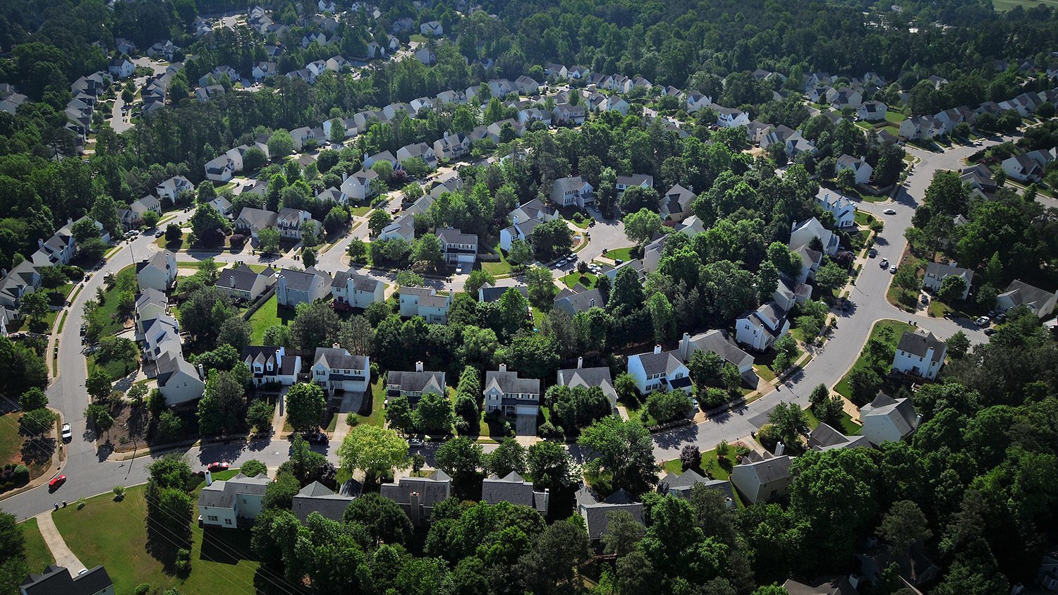
New Research Shows Water Use Impacted by the Shape of Our Cities
Georgina Sanchez, Ph.D. student in the Department of Forestry and Environmental Resources, is using geospatial analytics to understand water demand in the Southeast. Her latest findings: urban developments with simpler shapes use less water.