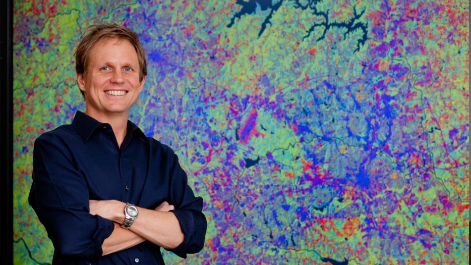
Geospatial Analytics Ross Meentemeyer
Professor, Forestry and Environmental Resources
Ross Meentemeyer joined NC State in August 2013 as a Chancellor’s Faculty Excellence Program cluster hire in Geospatial Analytics and is the coordinator of the cluster. He is the university’s Goodnight Distinguished Professor of Geospatial Analytics, with an academic appointment in the Department of Forestry and Environmental Resources, and directs the cluster’s collaboration hub, the Center for Geospatial Analytics. Over the course of his career, Meentemeyer has produced over 100 peer-reviewed publications; secured over $15 million in funding from external grants, including two decades of continuous funding from the National Science Foundation; and mentored over a dozen Ph.D. students to graduation.
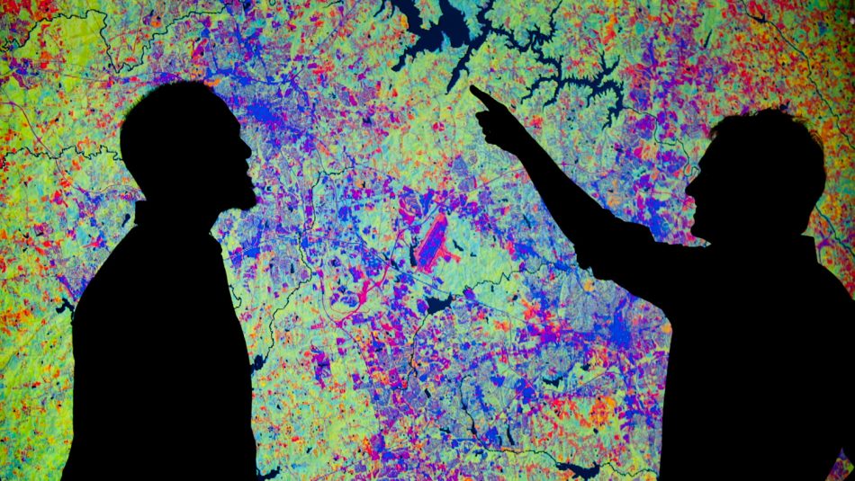
Meentemeyer develops and applies geospatial analytics for scientific discovery, communication of complex ideas and decision-making. His research has particularly focused on forecasting the spread and control of emerging plant disease, and modeling tradeoffs between scenarios of future urbanization and environmental change. Meentemeyer deploys these models to support decision-makers through the use of hands-on tangible user interfaces, which allow groups of people to collaboratively build management strategies on a shared interactive landscape; through web-based decision analytics that combine sophisticated back-end algorithms with user-friendly dashboards to visualize geospatial data clearly and quickly; and through participatory modeling techniques that engage communities to tackle natural resource challenges in the places important to them. For example, Meentemeyer’s Pests and Pathogens research team couples landscape forecasts of invasion dynamics with interactive decision analytics to help practitioners compare strategies to control spread.
The Center for Geospatial Analytics is unique among most university centers and institutes in that it coordinates both research and academic programs. As director, Meentemeyer provides strategic direction and administrative oversight of the center’s research initiatives and growing academic offerings. Meentemeyer established the Center for Geospatial Analytics’ now-signature Geospatial Forum series, which brings together distinguished guests and the campus community for interactive presentations every semester; the center’s Faculty Fellows program, which unites 30 faculty members from 12 departments and six colleges at NC State to advance the frontiers of geospatial data science; and the new doctoral program in Geospatial Analytics, which launched in fall 2018 with its first cohort of students.