Geospatial Analytics
We put our geospatial knowledge to work solving some of the world’s most pressing environmental, social and economic issues.
About
Cluster Type
Cluster Coordinator
Cluster Colleges
Social Media
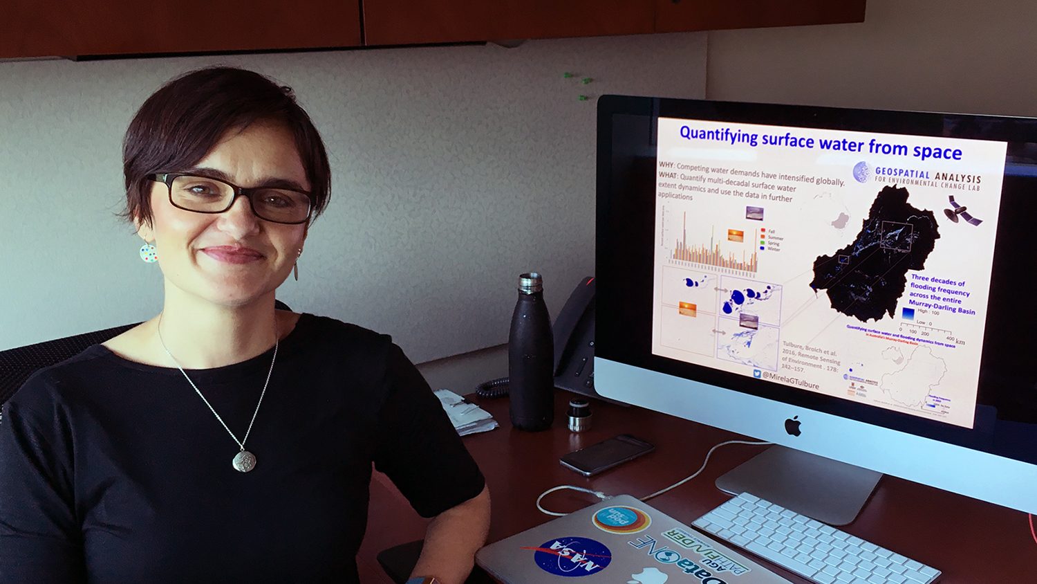
We are pushing the boundaries of spatial data science to advance discovery and inform real-world decision-making through innovative research and education. The field of geospatial analytics offers revolutionary approaches to discovering and communicating how and why location matters in myriad research questions and societal challenges. For example, we develop new ways of gathering and processing large datasets and use those data to forecast future conditions and simulate “what-if” scenarios; we put these forecasts into the hands of the people who need them most by developing easy-to-use, interactive tools that allow people with all ranges of expertise to control complex geospatial models with their hands and collaboratively explore alternative futures of environmental change. Our work involves deep collaboration with government, industry and community partners to address interdisciplinary environmental and societal challenges.
Cluster Website

Impact
Advancements in geospatial analytics are rapidly transforming the ways scientists, policymakers and community members understand spatial aspects of built and natural environments and the impacts of environmental change across space and time. Demand is high for GIS professionals and data scientists skilled in developing fresh understandings of spatial phenomena and applying that knowledge to the world’s most pressing needs. Our graduate programs are a key supplier of geospatial scientists and problem-solvers, and our research partnerships with government agencies, nonprofits, private companies and other groups yield innovative approaches for advancing the use of geospatial technology to serve stakeholder needs.
History
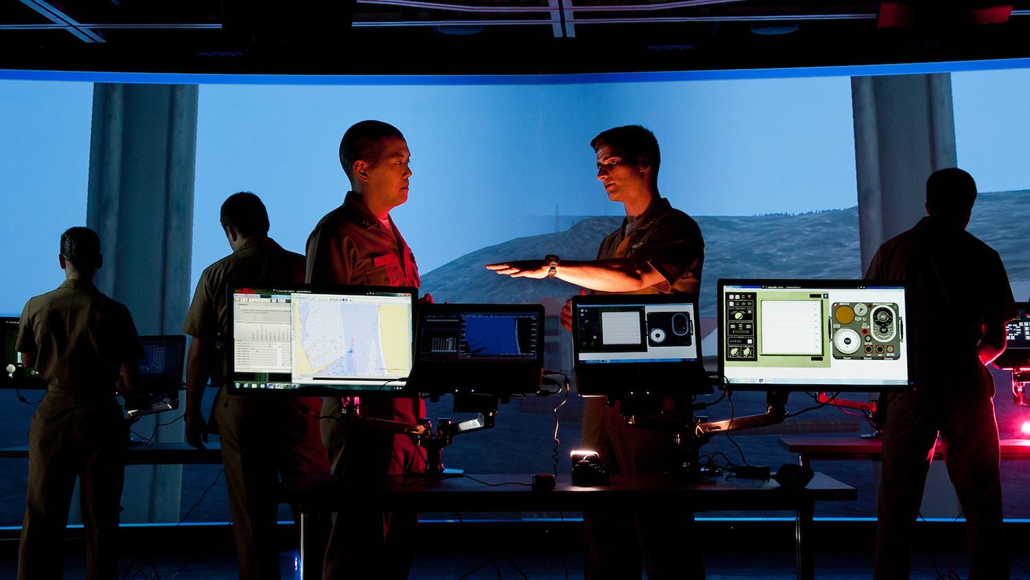
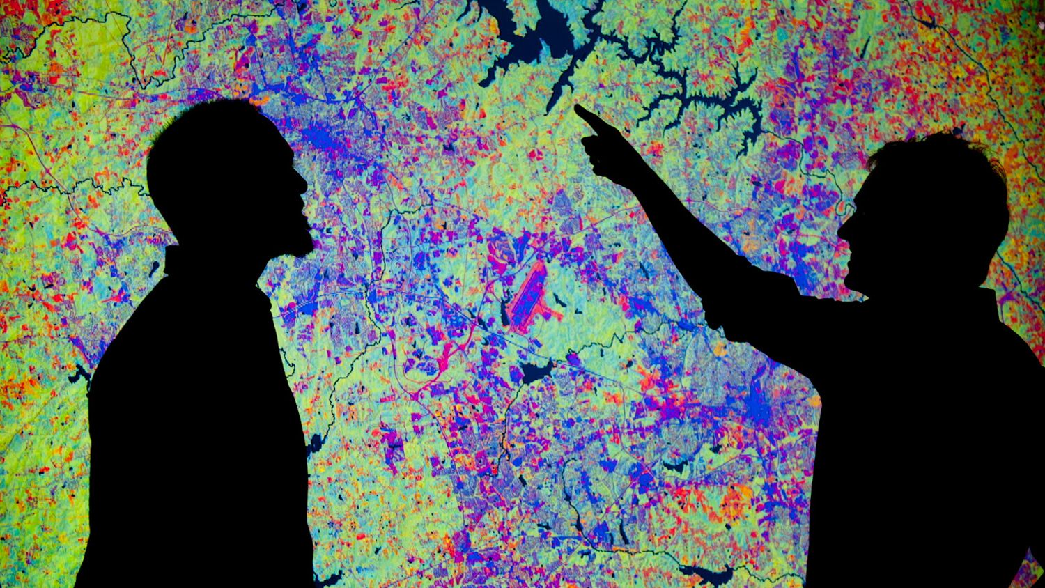
The Center for Geospatial Analytics is the intellectual and technological hub for the geospatial analytics initiative, supporting an interdisciplinary group of researchers and educators that spans seven of the university’s colleges and over a dozen of its academic departments. The Center offers a professional science master’s degree in Geospatial Information Science & Technology, a graduate certificate in GIS and a doctoral degree in Geospatial Analytics. Its flagship space, the Geovisualization Laboratory, houses state-of-the-art tools and technologies for interacting with and accurately representing spatial data, including immersive virtual environments, tangible interfaces and interactive decision-making systems.